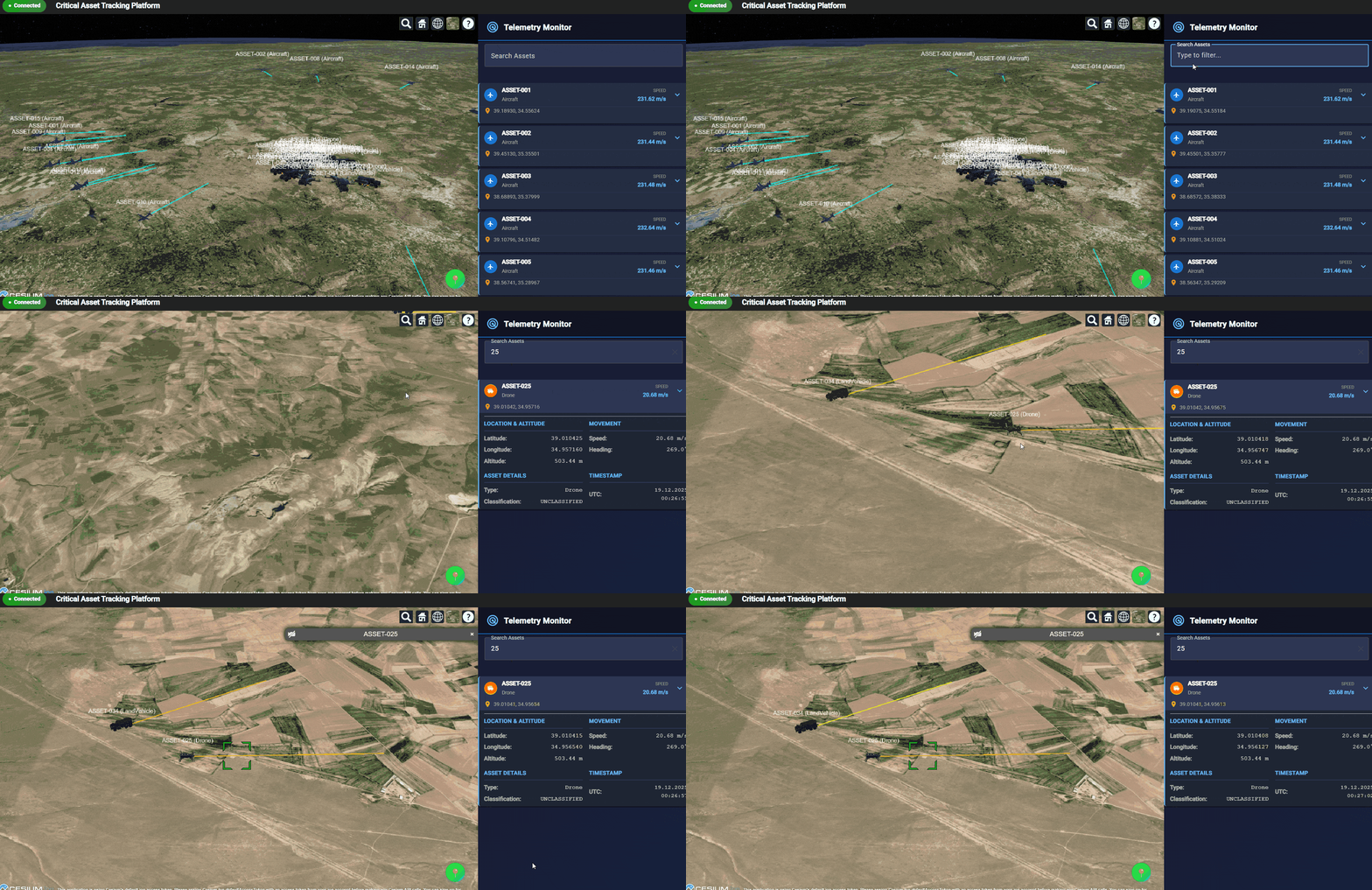
Part 1: Building 3D Real-Time Asset Tracking Ecosystem
An end-to-end real-time asset tracking architecture built with .NET, RabbitMQ, SignalR, Angular, and CesiumJS — designed for high-frequency telemetry ingestion and 3D geospatial visualization.
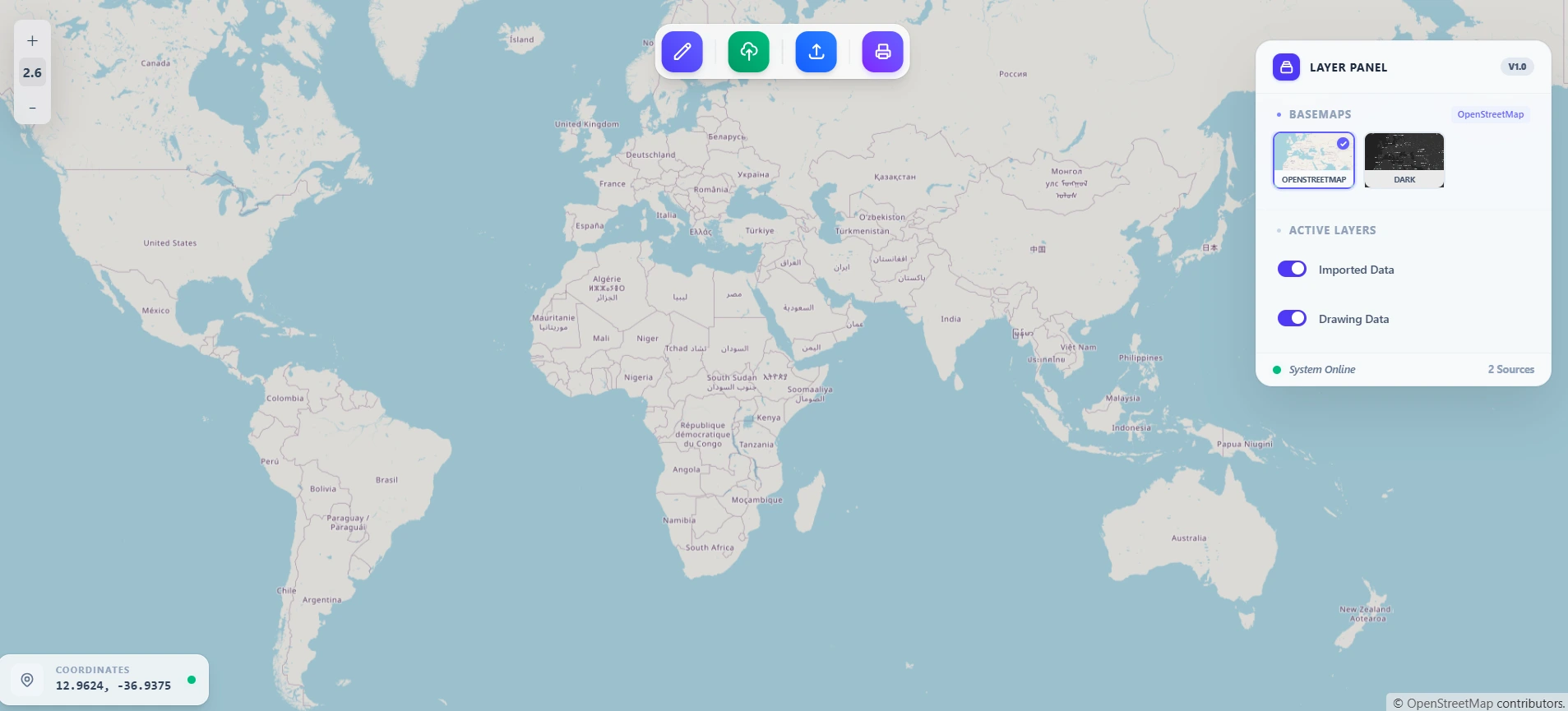
Hiring a GIS Developer in Turkey — WebGIS, ArcGIS, PostGIS
What to look for when hiring a software engineer and GIS developer in Turkey — WebGIS, ArcGIS, PostGIS, GeoServer, contract vs B2B delivery, and how Ankara-based engineers work with EU teams.
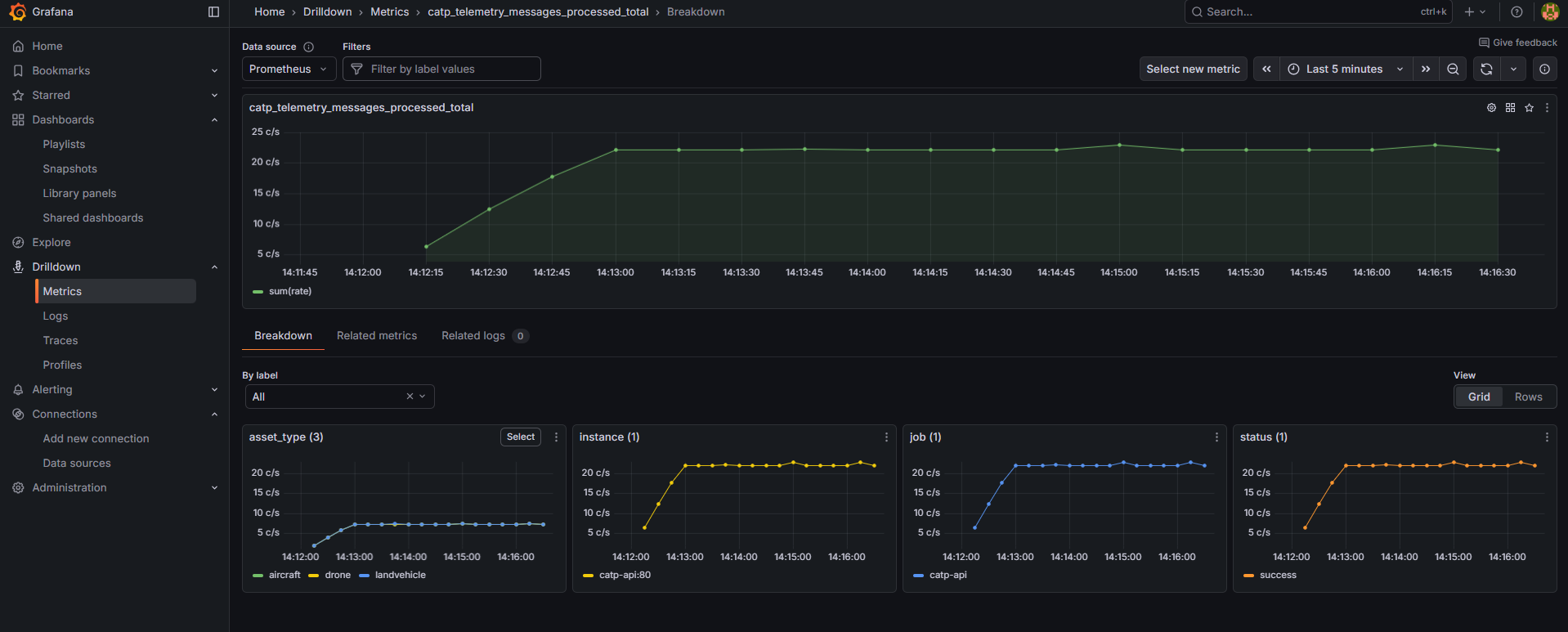
Part 2: Building a Real-Time Telemetry Pipeline (Backend & Simulator)
A deep dive into a production-ready real-time telemetry pipeline — from asset simulation and RabbitMQ messaging to CRC32 validation, SignalR streaming, and full observability with Prometheus and Grafana.
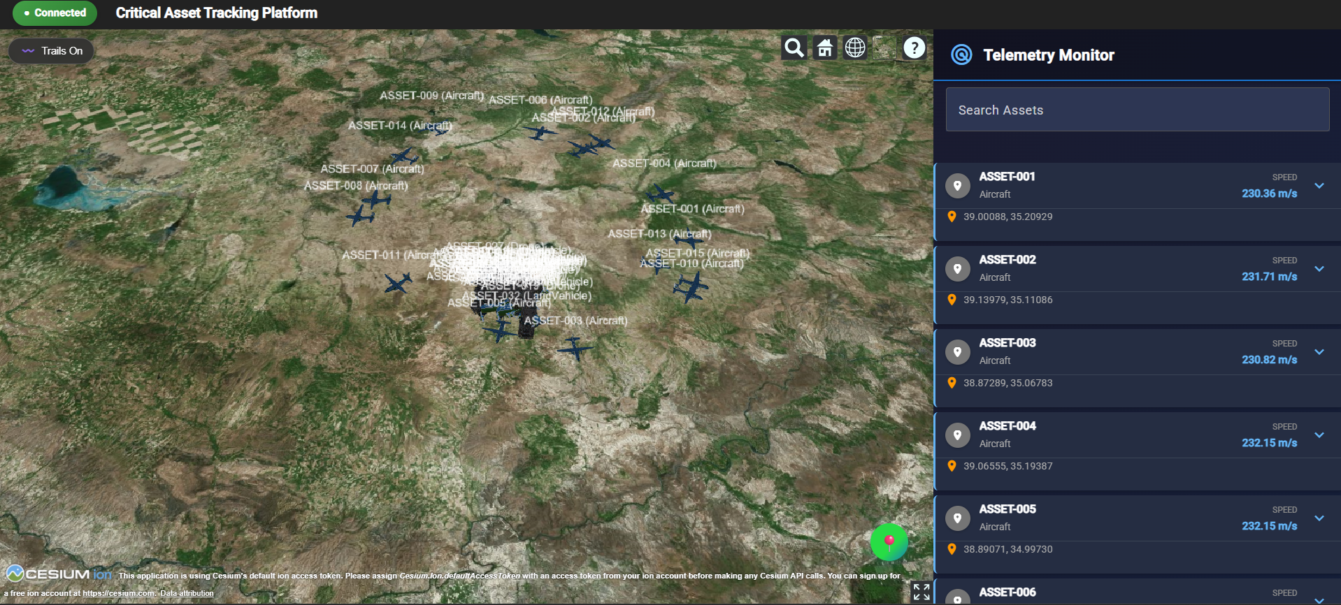
Part 3: Modern Frontend with 3D Map and Live Panel
Learn how to build a high-performance 3D asset tracking dashboard using Angular and Cesium.js. Featuring real-time SignalR integration, dynamic 3D models, and geofence alerting.
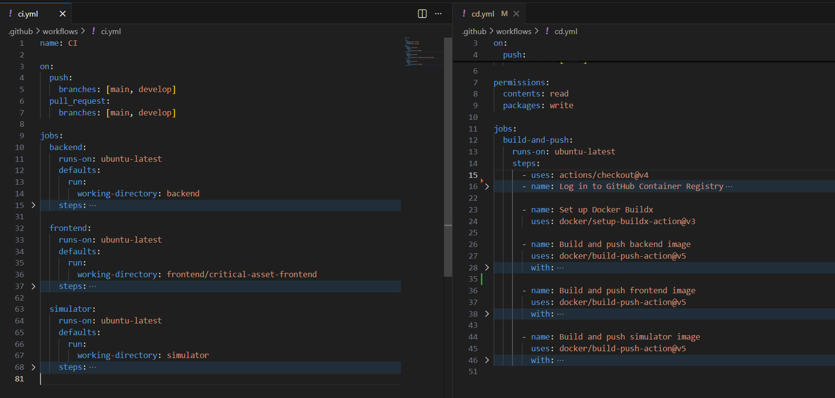
Part 4: CI/CD and Monitoring with Prometheus & Grafana
Automate your workflow with GitHub Actions and gain deep system insights. Learn to configure CI/CD pipelines for .NET/Angular and build real-time monitoring dashboards with Prometheus and Grafana.
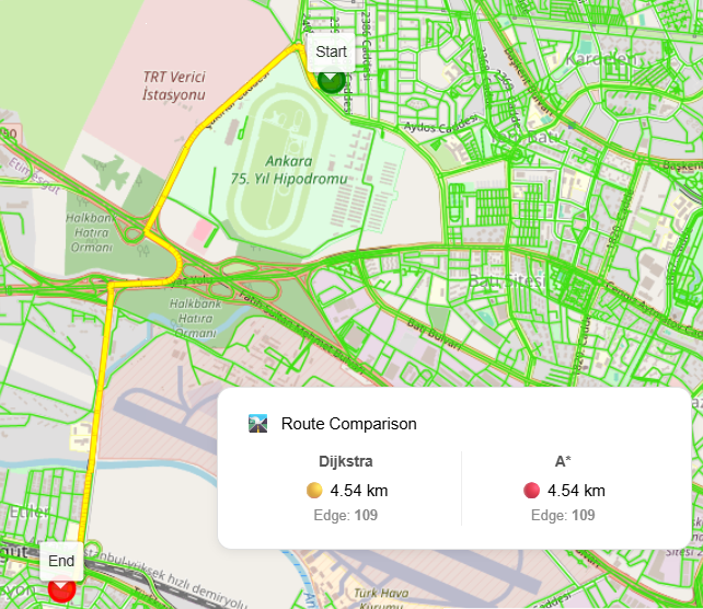
From Raw Roads to Intelligent Routing with PostGIS & pgRouting
An end-to-end SQL-based routing pipeline using PostgreSQL, PostGIS, and pgRouting — transforming raw road geometries into a production-ready network for shortest path analysis.
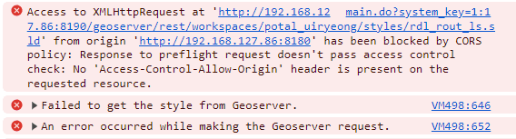
Preventing CORS Errors When Accessing GeoServer from Client-Side Apps
Learn why CORS errors occur when accessing GeoServer (WMS, WFS, WCS) directly from browser-based GIS applications and explore correct, secure server-side solutions including web.xml configuration and reverse proxy architecture.

Development of Real-Time Mapping System
A detailed overview of a real-time mapping system built with Angular, ASP.NET Core, RabbitMQ, and SignalR, showcasing low-latency live updates of geographic points.
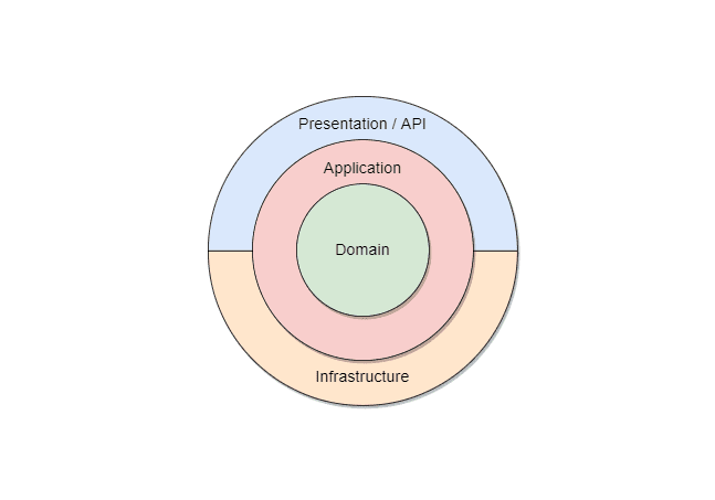
Onion Architecture - A Practical Implementation with OnionArchitectureDemo
Onion Architecture helps maintainability, testability, and clear separation of concerns by placing business rules at the center and isolating external dependencies.
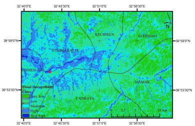
Flood Susceptibility Mapping in Ankara Using M-AHP
A detailed GIS-based flood susceptibility assessment for Ankara using the Modified Analytical Hierarchy Process (M-AHP).